
Leveraging GIS and remote sensing technology
GIS - Geographic Information System
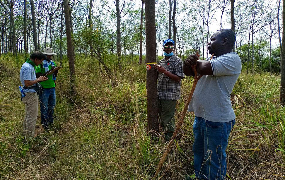
- Joseph Haraka - Monitoring and Evaluation Manager
Traditional ground surveys of Forest Management Units (FMU) are not always feasible or a viable option. To address this, Better Globe Forestry has embarked upon using remote sensing technology to map, identify, and delineate various physical features across its plantation land. With reference to one of its operations in Lamu County, the company studies many features of the terrain of a 32,000 ha land before establishment of its plantation. The mechanized operations on site rely on data acquired from this powerful technology when conducting suitability analysis for land clearing. With high resolution satellite images, a large area of the land is quickly studied, thereby saving time and money.

GIS raw data
Photo courtesy: Better Globe Forestry

Resulting image
Photo courtesy: Better Globe Forestry
The above figures are a demonstration of some of the work that is achieved by using this technology. After running a suitability analysis, the areas in gray have been extracted as the most preferred for planting Melia volksenii (mukau) for the next 8 months with a spacing of 3*3. Area to be planted at this point from the preliminary data is estimated to be 200 ha. Use of geospatial technology has played a key role in supporting various agencies globally to become more efficient, improve workflow, and most importantly generate productivity a value that Better Globe Forestry embraces.

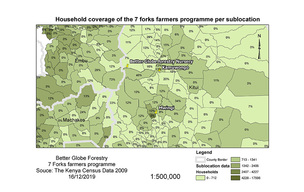
7 Forks District - farmers distribution
Photo courtesy: Better Globe Forestry

Nyongoro mosaic image
Photo courtesy: Better Globe Forestry